top5に行ってみよう!! 長野編
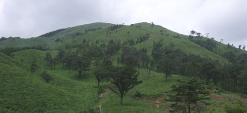
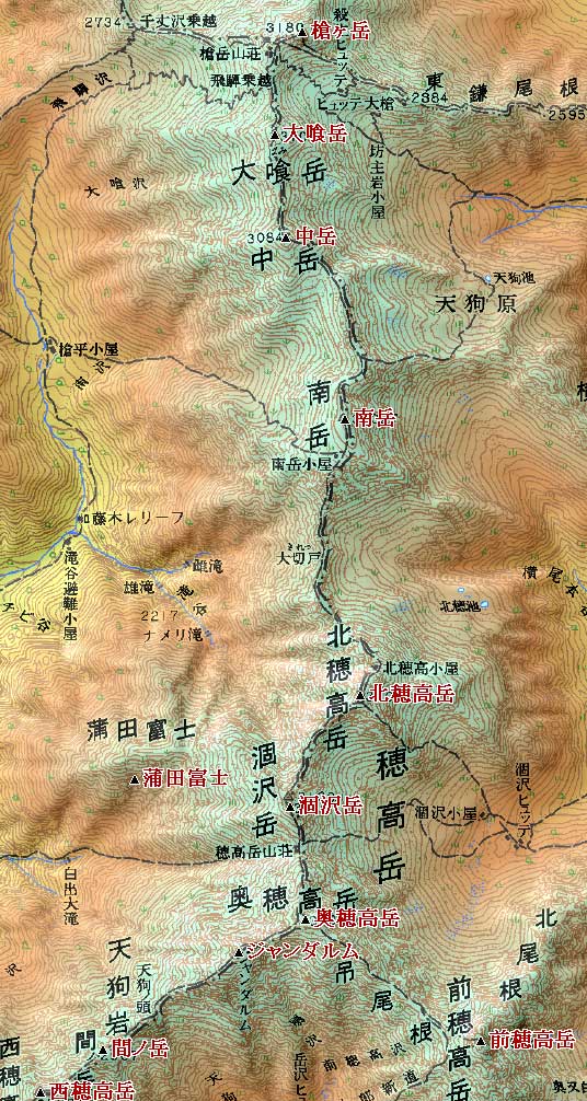
1.奥穂高岳 ( オクホタカダケ 3190 m) 長野県松本市・岐阜県高山市
<36.172103 137.385261>
[googlemap lat=”36.28939339619442″ lng=”137.6481181383133″ width=”300px” height=”150px” zoom=”10″ type=”G_NORMAL_MAP”]36.289393,137.648118[/googlemap]
★
2.槍ヶ岳 ( ヤリガタケ 3180 m) 長野県松本市・長野県大町市
<36.203103 137.385155>
[googlemap lat=”36.34201508839777″ lng=”137.64692187309265″ width=”300px” height=”150px” zoom=”9″ type=”G_NORMAL_MAP”]35.461317,138.157282[/googlemap]
★
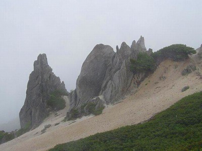
3.ジャンダルム ( 3163 m) 長野県松本市・岐阜県高山市
<36.171586 137.383729>
[googlemap lat=”36.28747355030335″ lng=”137.64349400997162″ width=”300px” height=”150px” zoom=”12″ type=”G_NORMAL_MAP”]36.289393,137.648118[/googlemap]
★
4.赤石岳 ( アカイシダケ 3120.1 m) 長野県下伊那郡・静岡県静岡市
<35.274034 138.092649>
[googlemap lat=”35.46131661910214″ lng=”138.15728187561035″ width=”300px” height=”150px” zoom=”9″ type=”G_NORMAL_MAP”]35.461317,138.157282[/googlemap]
★
5.涸沢岳 ( カラサワダケ 3110 m) 長野県松本市・岐阜県高山市
<36.174488 137.384965>
[googlemap lat=”36.29688207323153″ lng=”137.64682531356812″ width=”300px” height=”150px” zoom=”12″ type=”G_NORMAL_MAP”]36.289393,137.648118[/googlemap]
★
1.根塚 ( ネツカ 327 m) 長野県下高井郡木島平村
<36.511255 138.240211>
[googlemap lat=”36.85354411079642″ lng=”138.4007728099823″ width=”300px” height=”150px” zoom=”12″ type=”G_NORMAL_MAP”]36.561316,138.171433[/googlemap]

★
2.平塚 ( ヒラツカ 342 m) 長野県下高井郡木島平村
<36.513539 138.240723>
[googlemap lat=”36.85991813761075″ lng=”138.4020334482193″ width=”300px” height=”150px” zoom=”12″ type=”G_NORMAL_MAP”]36.561316,138.171433[/googlemap]
★
3.大塚 ( オオツカ 364 m) 長野県下高井郡木島平村
<36.511656 138.241568>
[googlemap lat=”36.85457858495162″ lng=”138.4044098854065″ width=”300px” height=”150px” zoom=”12″ type=”G_NORMAL_MAP”]36.561316,138.171433[/googlemap]
★
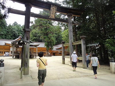
4.妻女山 ( サイジョザン 411 m) 長野県長野市松代町
<36.334177 138.101719>
[googlemap lat=”36.56131602357066″ lng=”138.17143321037292″ width=”300px” height=”150px” zoom=”13″ type=”G_NORMAL_MAP”]36.561316,138.171433[/googlemap]

★
5.長峰山 ( ナガミネヤマ 416.2 m) 長野県飯山市
<36.523609 138.215548>
[googlemap lat=”36.87672413308941″ lng=”138.36544275283813″ width=”300px” height=”150px” zoom=”12″ type=”G_NORMAL_MAP”]36.561316,138.171433[/googlemap]

★
2010 年 11 月 15 日