top5に行ってみよう!! 徳島編
徳島の山の標高ランキングです
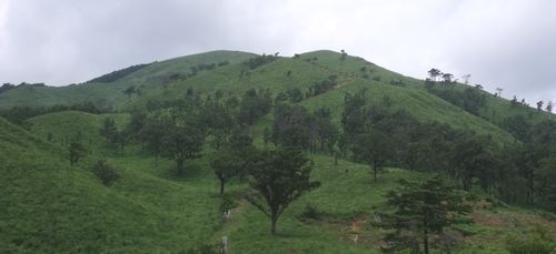
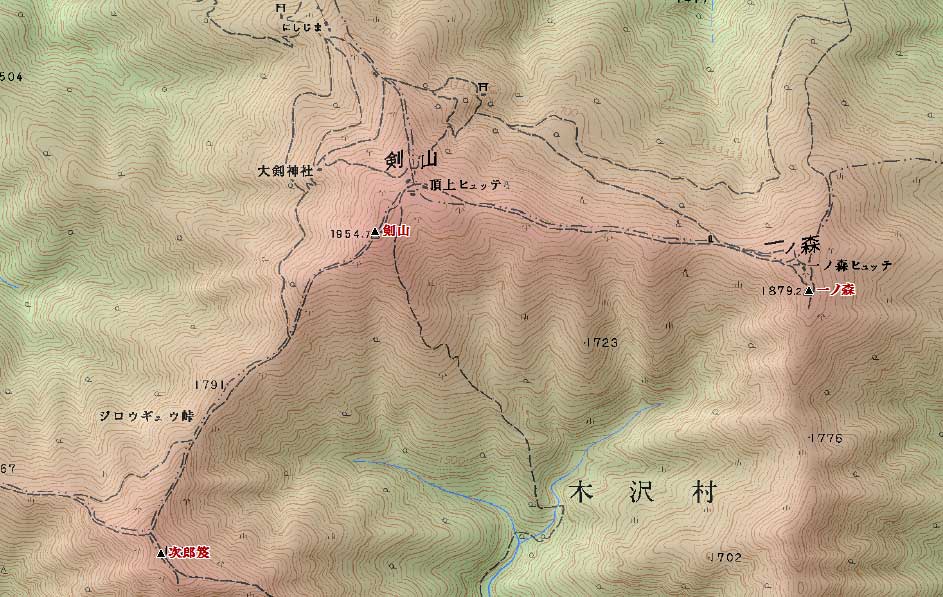
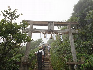
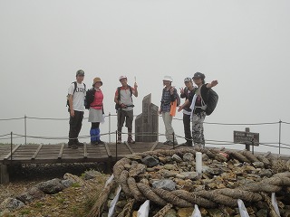
1.剣山 ( ツルギサン 1954.7 m) 徳島県三好市・美馬市・那賀郡
<33.511287 134.053941>
[googlemap lat=”33.85758684489138″ lng=”134.09534454345703″ width=”300px” height=”150px” zoom=”10″ type=”G_NORMAL_MAP”]33.857587,134.095345[/googlemap]
![]()
★
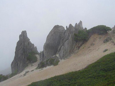
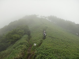
2.次郎笈( ジロウジュウ 1929 m) 徳島県三好市・那賀郡
<33.503554 134.050945>
[googlemap lat=”33.84240371964005″ lng=”134.0859889984131″ width=”300px” height=”150px” zoom=”12″ type=”G_NORMAL_MAP”]33.842404,134.085989[/googlemap]
★
3.三嶺( ミウネ 1893.4 m) 徳島県三好市・高知県香美市
<33.502185 133.591560>
[googlemap lat=”33.840051163041444″ lng=”133.98797035217285″ width=”300px” height=”150px” zoom=”12″ type=”G_NORMAL_MAP”]33.857587,134.095345[/googlemap]
★
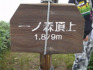
4.一ノ森 ( イチノモリ 1879.2 m) 徳島県美馬市・那賀郡
<33.510620 134.064011>
[googlemap lat=”33.853880415415155″ lng=”134.110107421875″ width=”300px” height=”150px” zoom=”12″ type=”G_NORMAL_MAP”]33.842404,134.085989[/googlemap]
★
5.矢筈山 ( ヤハズサン 1848.5 m) 徳島県三好市・美馬郡
<33.553019 133.582966>
[googlemap lat=”33.92548579694124″ lng=”133.97509574890137″ width=”300px” height=”150px” zoom=”12″ type=”G_NORMAL_MAP”]33.857587,134.095345[/googlemap]
★
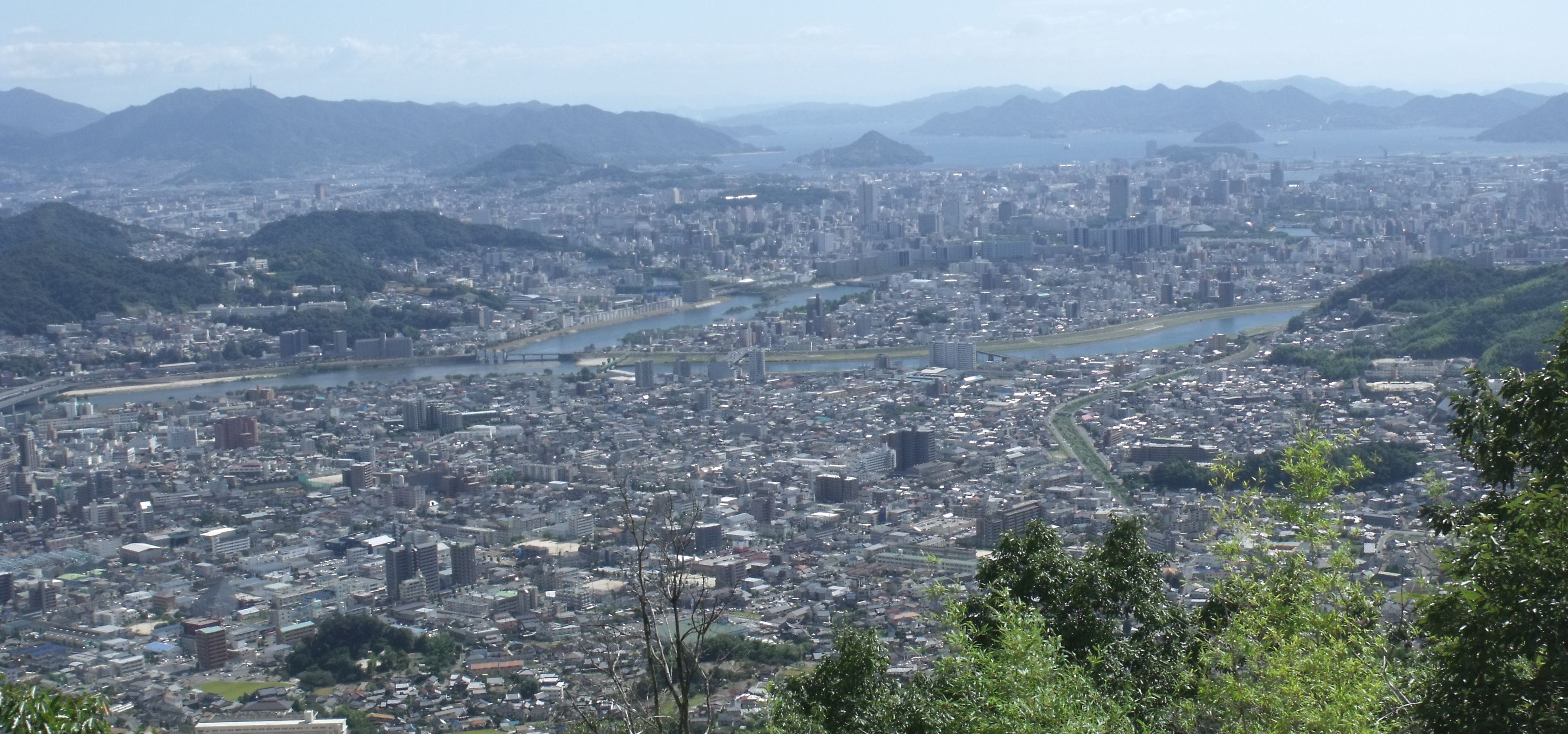
1. 弁天山( ベンテンヤマ 6 m) 徳島県徳島市方上町
<34.012625 134.323018>
[googlemap lat=”34.02396058211978″ lng=”134.54188406467438″ width=”300px” height=”150px” zoom=”12″ type=”G_NORMAL_MAP”]33.842404,134.085989[/googlemap]

★
2.七ッ山 ( ナナツヤマ 25 m) 徳島県徳島市八万町
<34.022975 134.324796>
[googlemap lat=”34.04221409673891″ lng=”134.54819798469543″ width=”300px” height=”150px” zoom=”13″ type=”G_NORMAL_MAP”]33.842404,134.085989[/googlemap]
★
3.観音山 ( カンノンサン 29 m) 徳島県阿南市羽ノ浦町
<33.575514 134.374961>
[googlemap lat=”33.96546600336293″ lng=”134.6307134628296″ width=”300px” height=”150px” zoom=”12″ type=”G_NORMAL_MAP”]33.842404,134.085989[/googlemap]

★
4.熊山 ( クマヤマ 41 m) 徳島県徳島市丈六町
<34.004977 134.330415>
[googlemap lat=”34.01392970232269″ lng=”134.5511269569397″ width=”300px” height=”150px” zoom=”13″ type=”G_NORMAL_MAP”]33.842404,134.085989[/googlemap]
★
5.妙見山 ( ミョウケンサン 61.6 m) 徳島県鳴門市撫養町
<34.103984 134.370712>
[googlemap lat=”34.1793940359903″ lng=”134.62037086486816″ width=”300px” height=”150px” zoom=”12″ type=”G_NORMAL_MAP”]33.842404,134.085989[/googlemap]

★
5.城山 ( シロヤマ 61.6 m) 徳島県徳島市徳島町
<34.043122 134.331490>
[googlemap lat=”34.07527025103402″ lng=”134.55402374267578″ width=”300px” height=”150px” zoom=”12″ type=”G_NORMAL_MAP”]33.842404,134.085989[/googlemap]

★
レポート待ってます!!
2010 年 7 月 8 日