top5に行ってみよう!! 大阪編
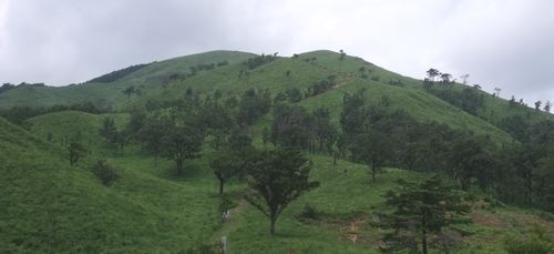
1.葛城山 ( 大和葛城山 カツラギサン 959.2 m) 大阪府南河内郡・奈良県御所市
<34.272217 135.405634>
[googlemap lat=”34.455237450004354″ lng=”135.68287432193756″ width=”300px” height=”150px” zoom=”10″ type=”G_NORMAL_MAP”]34.455237,135.682874[/googlemap]
★
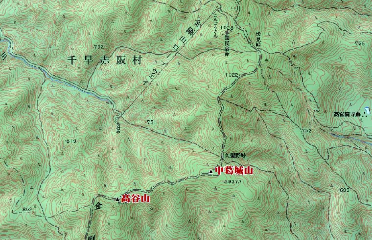
2.中葛城山( ナカカツラギサン 950 m) 大阪府南河内郡・奈良県五條市
<34.235737 135.403015>
[googlemap lat=”34.39927022471732″ lng=”135.67485451698303″ width=”300px” height=”150px” zoom=”12″ type=”G_NORMAL_MAP”]34.455237,135.682874[/googlemap]
★
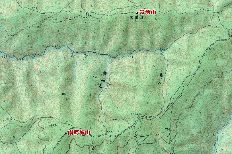
3.南葛城山 ( ミナミカツラギサン 920 m) 大阪府河内長野市・和歌山県橋本市
<34.212477 135.321971>
[googlemap lat=”34.35739809624986″ lng=”135.5394458770752″ width=”300px” height=”150px” zoom=”10″ type=”G_NORMAL_MAP”]34.455237,135.682874[/googlemap]
★
4.岩湧山 ( イワワキサン 897.3 m) 大阪府河内長野市
<34.222668 135.330364>
[googlemap lat=”34.37402105875835″ lng=”135.55101692676544″ width=”300px” height=”150px” zoom=”10″ type=”G_NORMAL_MAP”]34.455237,135.682874[/googlemap]
★
5.三国山 ( ミクニヤマ 885 m) 大阪府河内長野市・大阪府和泉市・和歌山県伊都郡
<34.214471 135.290408>
[googlemap lat=”34.362692207922535″ lng=”135.48459470272064″ width=”300px” height=”150px” zoom=”13″ type=”G_NORMAL_MAP”]34.455237,135.682874[/googlemap]
1.天保山 ( テンポウザン 4.5 m) 大阪府大阪市港区築港
<34.392904 135.255764>
[googlemap lat=”34.65796608939219″ lng=”135.43263226747513″ width=”300px” height=”150px” zoom=”13″ type=”G_NORMAL_MAP”]34.455237,135.682874[/googlemap]

★
2.蘇鉄山 ( ソテツヤマ 6.9 m) 大阪府堺市堺区大浜北町
<34.344788 135.274121>
[googlemap lat=”34.58003892777325″ lng=”135.46151965856552″ width=”300px” height=”150px” zoom=”13″ type=”G_NORMAL_MAP”]34.455237,135.682874[/googlemap]

★
3.真田山 ( サナダヤマ 10 m) 大阪府大阪市天王寺区
<34.400902 135.314223>
[googlemap lat=”34.669014411894835″ lng=”135.52857220172882″ width=”300px” height=”150px” zoom=”12″ type=”G_NORMAL_MAP”]34.455237,135.682874[/googlemap]

★
4.御勝山 ( オカチヤマ 14 m) 大阪府大阪市生野区
<34.391624 135.320945>
[googlemap lat=”34.65445802714431″ lng=”135.53599387407303″ width=”300px” height=”150px” zoom=”13″ type=”G_NORMAL_MAP”]34.455237,135.682874[/googlemap]
★
4.聖天山 ( ショウテンヤマ 14 m) 大阪府大阪市阿倍野区
<34.380787 135.301349>
[googlemap lat=”34.63561344182071″ lng=”135.50336211919785″ width=”300px” height=”150px” zoom=”13″ type=”G_NORMAL_MAP”]34.455237,135.682874[/googlemap]

★
5.帝塚山 ( テヅカヤマ 19.8 m) 大阪府大阪市住吉区
<34.371624 135.294758>
[googlemap lat=”34.62155665352735″ lng=”135.49682557582855″ width=”300px” height=”150px” zoom=”13″ type=”G_NORMAL_MAP”]34.455237,135.682874[/googlemap]

★
レポート待ってます!!
2010 年 8 月 23 日