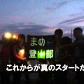
top5に行ってみよう!! 富山編
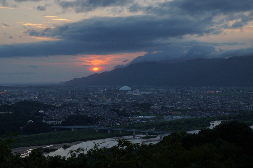
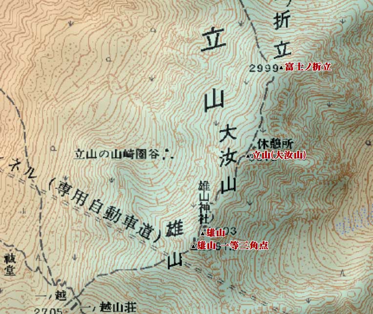
1.立山 ( タテヤマ 3015 m) 富山県中新川郡立山町
<36.343352 137.371144>
[googlemap lat=”36.57621444130505″ lng=”137.61972427368164″ align=”undefined” width=”300px” height=”150px” zoom=”12″ type=”G_NORMAL_MAP”]36.576214,137.619724[/googlemap]
★
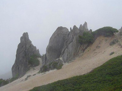
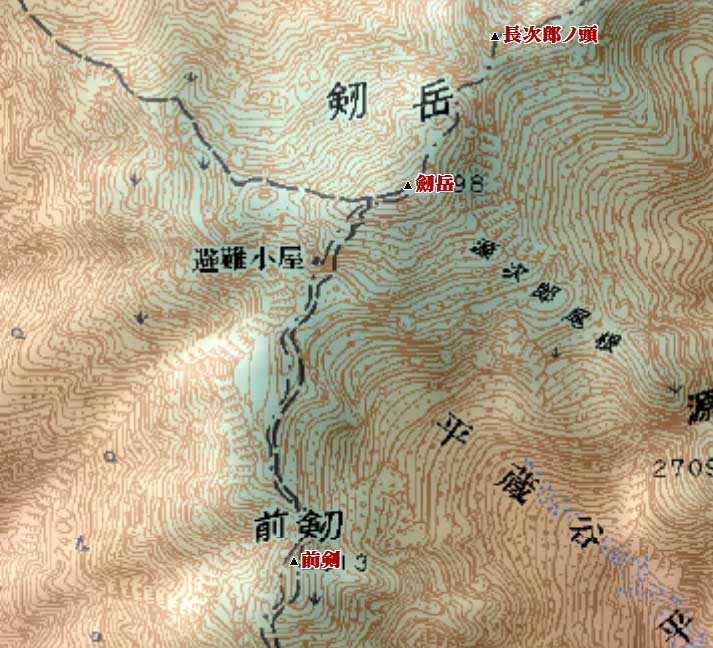
2.剱岳 ( ツルギダケ 2999 m) 富山県中新川郡上市町、立山町
<36.372374 137.370084>
[googlemap lat=”36.62357041183123″ lng=”137.61740684509277″ align=”undefined” width=”300px” height=”150px” zoom=”11″ type=”G_NORMAL_MAP”]36.576214,137.619724[/googlemap]
★
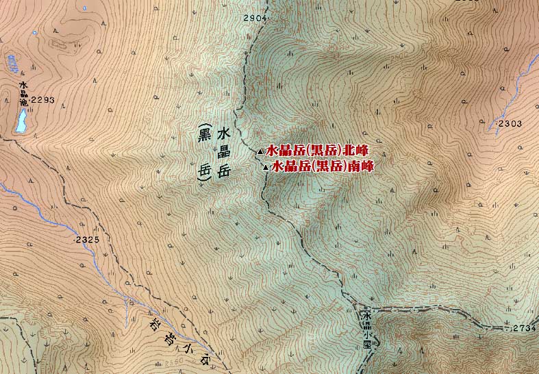
3.水晶岳 (黒岳)( スイショウダケ(クロダケ) 2986 m) 富山県富山市
<36.253479 137.361013>
[googlemap lat=”36.42734271923391″ lng=”137.60247230529785″ align=”undefined” width=”300px” height=”150px” zoom=”10″ type=”G_NORMAL_MAP”]36.576214,137.619724[/googlemap]
★
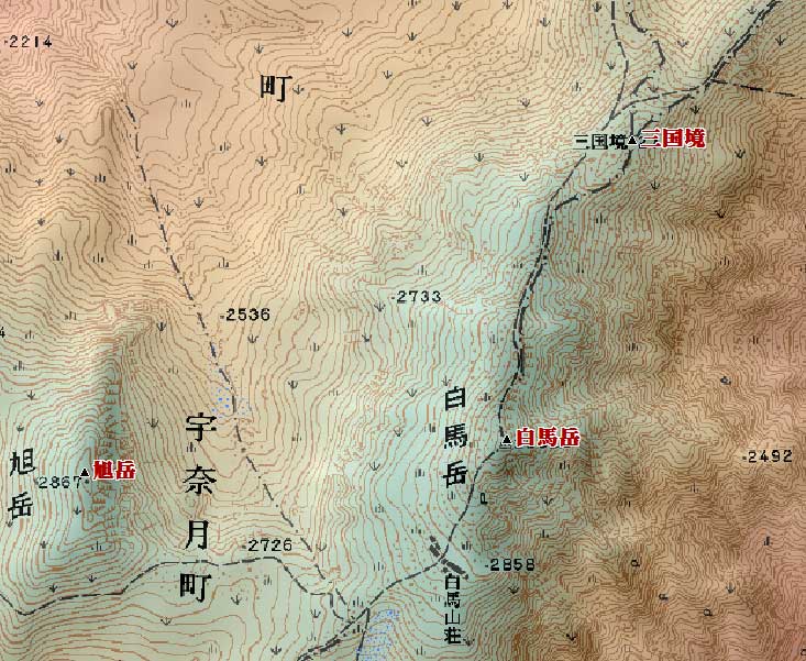
4. 白馬岳 ( シロウマダケ 2932.2 m) 富山県黒部市・長野県北安曇郡白馬村
<36.453064 137.453078>
[googlemap lat=”36.75862205669163″ lng=”137.7586841583252″ align=”undefined” width=”300px” height=”150px” zoom=”9″ type=”G_NORMAL_MAP”]36.576214,137.619724[/googlemap]
★
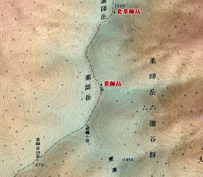
5.薬師岳 ( ヤクシダケ 2926 m) 富山県富山市
<36.280783 137.324126>
[googlemap lat=”36.46892312707231″ lng=”137.54483699798584″ align=”undefined” width=”300px” height=”150px” zoom=”10″ type=”G_NORMAL_MAP”]36.576214,137.619724[/googlemap]
★
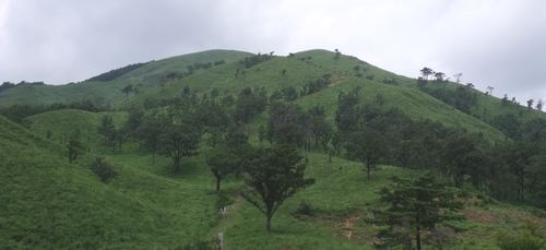
1.園家山 ( ソノケヤマ 17.4 m) 富山県下新川郡入善町
<36.555005 137.263833>
[googlemap lat=”36.931532484741666″ lng=”137.44288086891174″ align=”undefined” width=”300px” height=”150px” zoom=”10″ type=”G_NORMAL_MAP”]36.931532,137.442881[/googlemap]

★
2.円山 ( マルヤマ 35 m) 富山県氷見市布施
<36.492002 136.573219>
[googlemap lat=”36.82227148994106″ lng=”136.95863485336304″ align=”undefined” width=”300px” height=”150px” zoom=”12″ type=”G_NORMAL_MAP”]36.931532,137.442881[/googlemap]

★
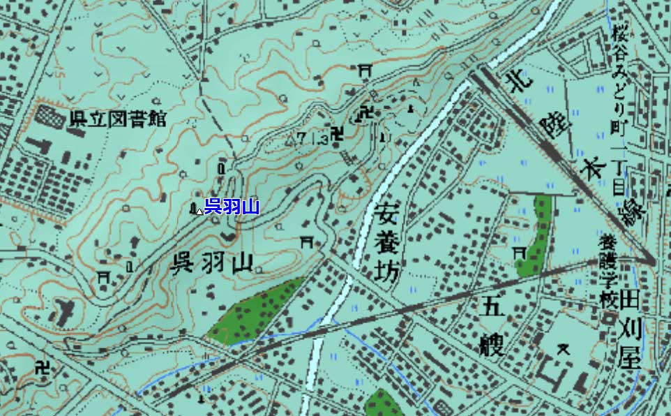
3.呉羽山 ( クレハヤマ 80 m) 富山県富山市北代
<36.423234 137.110600>
[googlemap lat=”36.70937092033699″ lng=”137.18529224395752″ align=”undefined” width=”300px” height=”150px” zoom=”10″ type=”G_NORMAL_MAP”]36.931532,137.442881[/googlemap]
★
4.千羽山 ( センバヤマ 93 m) 富山県小矢部市戸久
<36.371282 136.522909>
[googlemap lat=”36.62034995591608″ lng=”136.8747889995575″ align=”undefined” width=”300px” height=”150px” zoom=”12″ type=”G_NORMAL_MAP”]36.931532,137.442881[/googlemap]

★
5.火燈山 (ヒトボシヤマ 95 m) 富山県小矢部市末友
<36.372961 136.501701>
[googlemap lat=”36.625413072078665″ lng=”136.83757066726685″ align=”undefined” width=”300px” height=”150px” zoom=”12″ type=”G_NORMAL_MAP”]36.931532,137.442881[/googlemap]

★
2011 年 3 月 19 日