top5に行ってみよう!! 熊本編
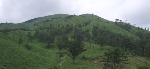
1.国見岳( クニミダケ 1738.6 m) 熊本県八代市・宮崎県東臼杵郡
<32.324968 131.010610>
[googlemap lat=”32.547717558520205″ lng=”131.01848602294922″ width=”300px” height=”150px” zoom=”10″ type=”G_NORMAL_MAP”]32.547718,131.018486[/googlemap]
★
2.市房山 ( イチフサヤマ 1720.8 m) 熊本県球磨郡・宮崎県東臼杵郡・宮崎県児湯郡
<32.184206 131.060373>
[googlemap lat=”32.312670050625805″ lng=”131.1011838912964″ width=”300px” height=”150px” zoom=”10″ type=”G_NORMAL_MAP”]32.547718,131.018486[/googlemap]
★
3.烏帽子岳 ( エボシダケ 1692.2 m) 熊本県八代市
<32.305506 131.002787>
[googlemap lat=”32.51580534711924″ lng=”131.0077142715454″ width=”300px” height=”150px” zoom=”12″ type=”G_NORMAL_MAP”]32.547718,131.018486[/googlemap]
★
4.向坂山( ムコウザカヤマ 1684.8 m) 熊本県上益城郡・宮崎県東臼杵郡・宮崎県西臼杵郡
<32.344664 131.061752>
[googlemap lat=”32.58003429583183″ lng=”131.1036515235901″ width=”300px” height=”150px” zoom=”10″ type=”G_NORMAL_MAP”]32.547718,131.018486[/googlemap]
★
5.五勇山 ( ゴユウザン 1662 m) 熊本県八代市・宮崎県東臼杵郡
<32.311594 131.013318>
[googlemap lat=”32.52148669485984″ lng=”131.02591037750244″ width=”300px” height=”150px” zoom=”12″ type=”G_NORMAL_MAP”]32.547718,131.018486[/googlemap]
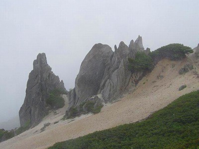
1.白島 ( シラト 19 m) 熊本県八代市郡築一番町
<32.304931 130.335859>
[googlemap lat=”32.51367474912491″ lng=”130.56611001491547″ width=”300px” height=”150px” zoom=”11″ type=”G_NORMAL_MAP”]32.547718,131.018486[/googlemap]

★
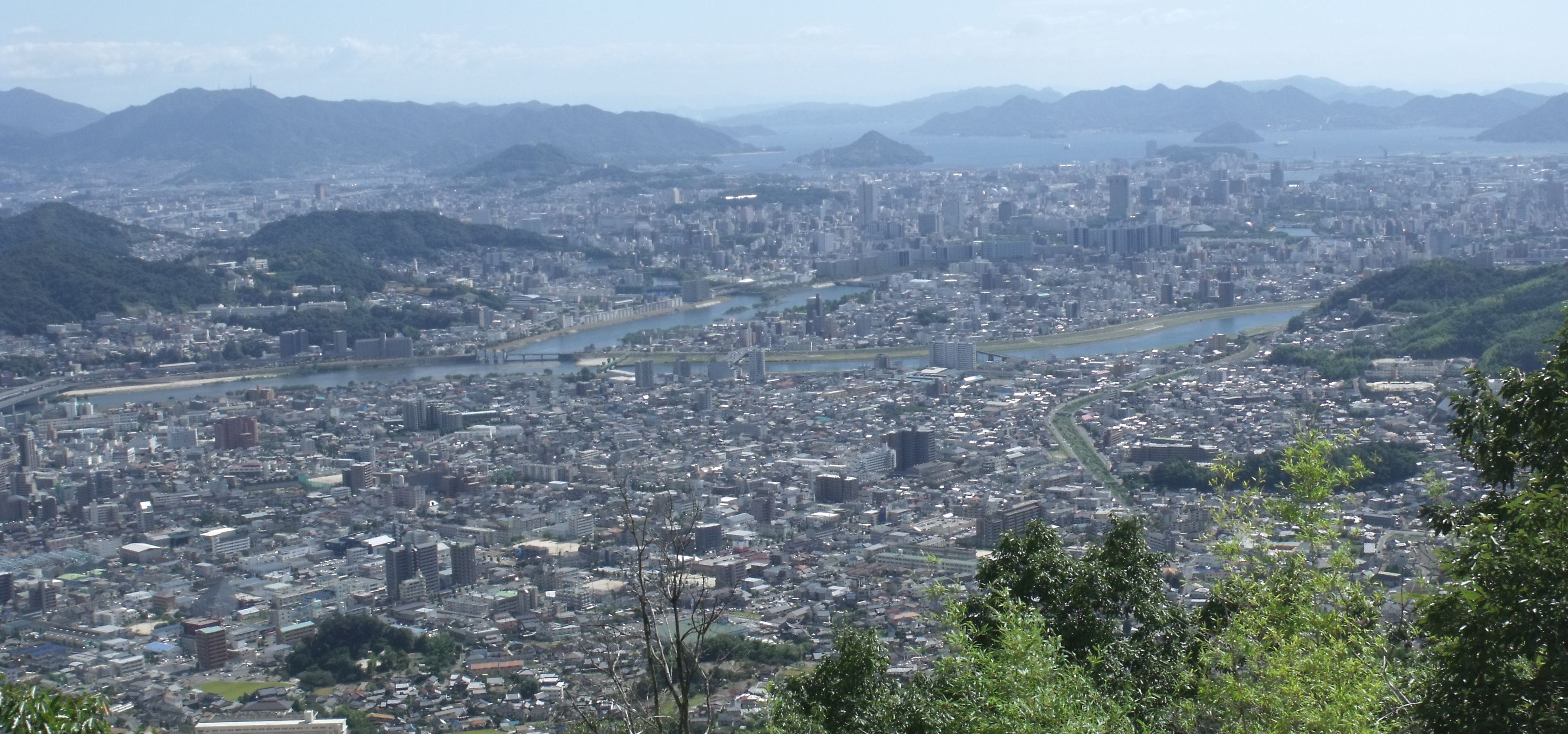
2.御坊山 ( オンボサン 29 m) 熊本県熊本市小島
<32.463346 130.383277>
[googlemap lat=”32.775936177428775″ lng=”130.64239740371704″ width=”300px” height=”150px” zoom=”10″ type=”G_NORMAL_MAP”]32.547718,131.018486[/googlemap]

★
3.高島 ( タカシマ 32.7 m) 熊本県八代市高島町
<32.311715 130.343703>
[googlemap lat=”32.52153192707905″ lng=”130.5770480632782″ width=”300px” height=”150px” zoom=”12″ type=”G_NORMAL_MAP”]32.547718,131.018486[/googlemap]
★
4.小鼠蔵 ( コソゾウ 35.3 m) 熊本県八代市鼠蔵町
<32.285765 130.342210>
[googlemap lat=”32.48261023507696″ lng=”130.57259559631348″ width=”300px” height=”150px” zoom=”12″ type=”G_NORMAL_MAP”]32.547718,131.018486[/googlemap]

★
5.丸山 ( マルヤマ 38 m) 熊本県水俣市丸島町
<32.125068 130.232309>
[googlemap lat=”32.213808652745286″ lng=”130.38967967033386″ width=”300px” height=”150px” zoom=”12″ type=”G_NORMAL_MAP”]32.547718,131.018486[/googlemap]

★
レポート待ってます!!
2010 年 7 月 31 日