top5に行ってみよう!! 鹿児島編
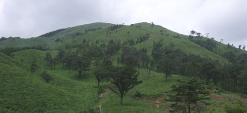
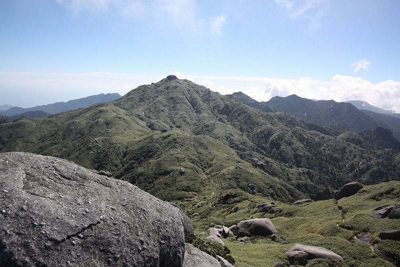
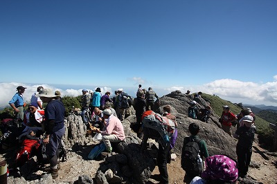
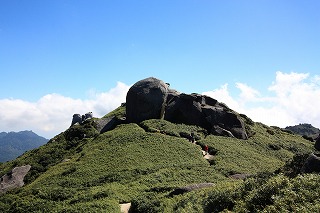
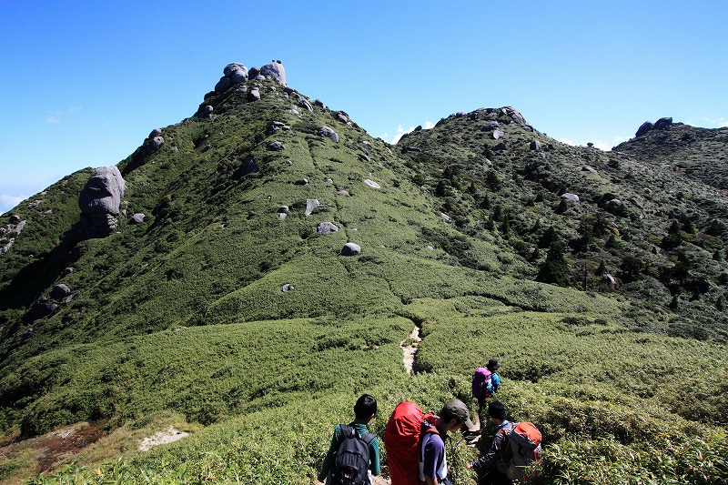
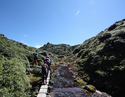
1.宮之浦岳 ( ミヤノウラダケ 1936 m) 鹿児島県熊毛郡
<30.200952 130.301513>
[googlemap lat=”30.338609169282826″ lng=”130.50304055213928″ width=”300px” height=”150px” zoom=”10″ type=”G_NORMAL_MAP”]30.338609,130.503041[/googlemap]
![]()
★
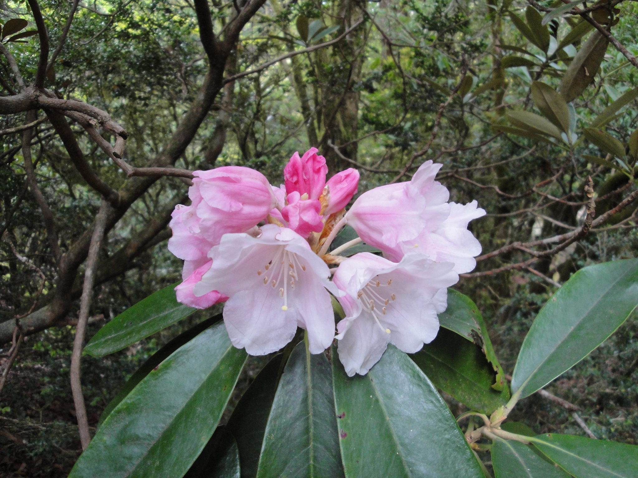
2.永田岳( ナガタダケ 1886 m) 鹿児島県熊毛郡
<30.203427 130.293277>
[googlemap lat=”30.34339162533778″ lng=”130.4933524131775″ width=”300px” height=”150px” zoom=”12″ type=”G_NORMAL_MAP”]30.338609,130.503041[/googlemap]
![]()
★
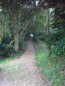
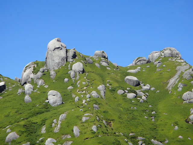
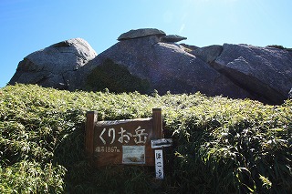
3.栗生岳 ( クリオダケ 1867 m) 鹿児島県熊毛郡
<30.200076 130.302537>
[googlemap lat=”30.33333801168354″ lng=”130.50694048404694″ width=”300px” height=”150px” zoom=”12″ type=”G_NORMAL_MAP”]30.338609,130.503041[/googlemap]
![]()
★
4.翁岳 ( オキナダケ 1860 m) 鹿児島県熊毛郡
<30.195256 130.304520>
[googlemap lat=”30.331115567706217″ lng=”130.51249533891678″ width=”300px” height=”150px” zoom=”13″ type=”G_NORMAL_MAP”]30.338609,130.503041[/googlemap]
![]()
★
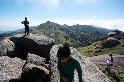
5.安房岳 ( アンボウダケ 1847 m) 鹿児島県熊毛郡
<30.193814 130.304311>
[googlemap lat=”30.32723079970667″ lng=”130.5119428038597″ width=”300px” height=”150px” zoom=”12″ type=”G_NORMAL_MAP”]30.338609,130.503041[/googlemap]
![]()
★
1.城山(堂崎城) ( シロヤマ(ドウザキジョウセキ) 29.2 m) 鹿児島県出水郡長島町
<32.083611 130.064615>
[googlemap lat=”32.14320534939117″ lng=”130.11263966560364″ width=”300px” height=”150px” zoom=”10″ type=”G_NORMAL_MAP”]32.143205,130.11264[/googlemap]
")
★
2.蘭館山 ( ランカンヤマ 50 m) 鹿児島県奄美市名瀬矢之脇町
<28.225616 129.292608>
[googlemap lat=”28.382348591500108″ lng=”129.49061393737793″ width=”300px” height=”150px” zoom=”10″ type=”G_NORMAL_MAP”]32.143205,130.11264[/googlemap]

★
3.宮城山 ( ミヤグスクヤマ 58.4 m) 鹿児島県大島郡徳之島町
<27.491427 128.580240>
[googlemap lat=”27.820470278264235″ lng=”128.96714329719543″ width=”300px” height=”150px” zoom=”10″ type=”G_NORMAL_MAP”]32.143205,130.11264[/googlemap]

★
4.宇土山 ( ウトヤマ 63 m) 鹿児島県南さつま市加世田小湊
<31.250016 130.151032>
[googlemap lat=”31.41656196776551″ lng=”130.2527555823326″ width=”300px” height=”150px” zoom=”10″ type=”G_NORMAL_MAP”]32.143205,130.11264[/googlemap]

★
4.水天宮山 ( スイテングウヤマ 63 m) 鹿児島県大島郡喜界町
<28.181494 129.562139>
[googlemap lat=”28.30407840706908″ lng=”129.93900954723358″ width=”300px” height=”150px” zoom=”10″ type=”G_NORMAL_MAP”]32.143205,130.11264[/googlemap]

★
5.児島 ( コジマ 64 m) 鹿児島県薩摩川内市上甑町
<31.511459 129.513508>
[googlemap lat=”31.85399436601665″ lng=”129.85994338989258″ width=”300px” height=”150px” zoom=”10″ type=”G_NORMAL_MAP”]32.143205,130.11264[/googlemap]

★
レポート待ってます!!
2010 年 8 月 16 日